")
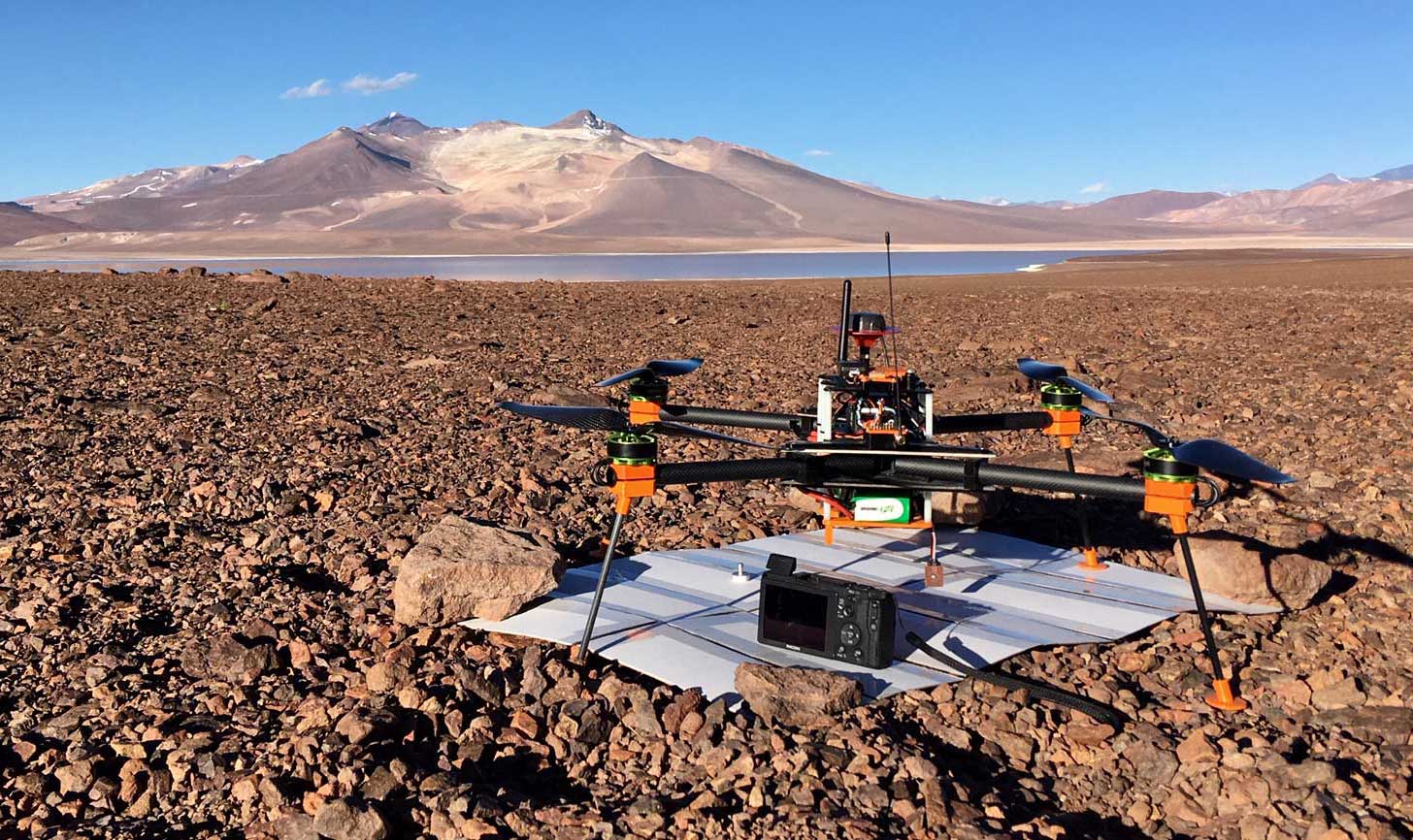
- drone-based, high accuracy 3D and geomorphological mapping
- mapping the spatial distribution and morphometrical characteristics of periglacial phenomena, glacial and fluvial landforms
- comparative analyses for detecting short- and long-term changes
- producing DEMs for the analyses of surface-changes
- creating essential data for large-scale surface-evolution modeling