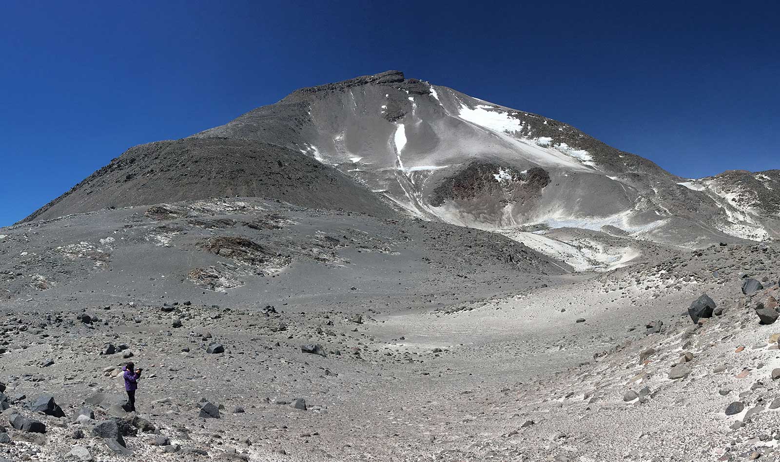
drone-based, high accuracy 3D and geomorphological mapping in the abandoned glacier valley on the northern flank of Ojos del Salado (5200-5400 m asl)
drone-based high accuracy 3D mapping of a poligonal field (4200 m asl), and a megaripple-system (5300 m asl)
microbilological sampling from a high altitude lake sediment (5900 m asl)
Antuco region
field trip, geomorphological and sedimentological investigations and study of the accessibility for the site determination of the planned monitoring system
Torres del Paine
field trip, geomorphological and sedimentological investigations and study of the accessibility for the site determination of the planned monitoring system
")